
A Visual Comparison Between the Americas and the United States
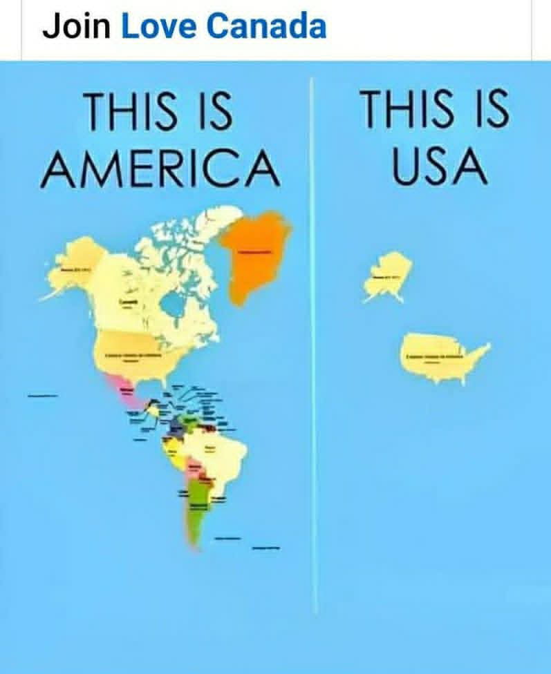
This image presents a side-by-side comparison intended to clarify geographical terminology. The left side, labeled "This is America," displays a map encompassing the continents of North, Central, and South America, including various island nations and Greenland. The right side, labeled "This is USA," isolates only the United States, including Alaska. The graphic highlights the common linguistic distinction between referring to the entire landmass of the Americas versus the specific country of the United States of America.


That is the North, Central, and South America continents.
The Americas consists of the continents of North, and South America, and all of the islands in and around them. LEARN IT KNOW IT LIVE IT
'Merica
The left is North, central and South America. North and South America are considered 2 continents because they sit on 2 separate tectonic plates.
You forgot the occupied Hawaiian islands.
The pic on the left is North America and South America.
So Gulf of America is more correct than Gulf of Mexico? And Lake Ontario since it also includes part of USA and Canada... Lake America is more correct then?
still called America thru out the world. and you can continue to be hurt hurt til the day you die
but nobody ever says they are from america, unless they are from the united states of america. so get over it?
Greenland is not America